SCP leader: Mr Joseph Savona
Participating school: St Michael’s School, St Venera
Students’ Age: 14-18 years
Project time frame: Project Year 1
- Research question: What was the research question? What are the underlying regional problems?
- How do trees affect our school environment?
- Is there any difference between indigenous and non-indigenous trees?
- Does the tree location affect their growth rate?
- Do trees have an impact on lowering urban surface temperatures?
- Approach: How did you proceed?
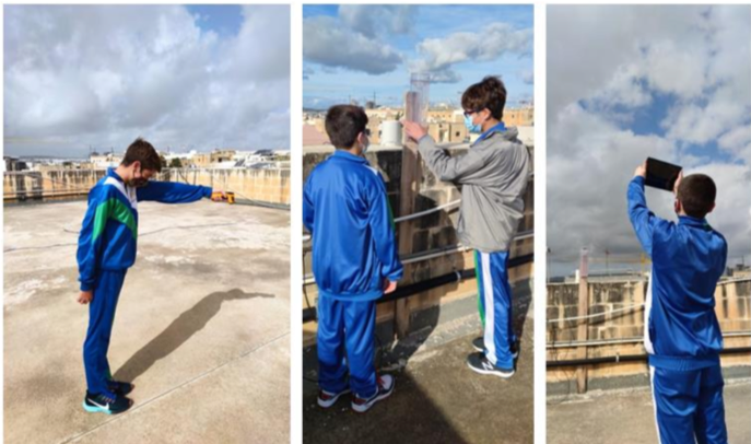
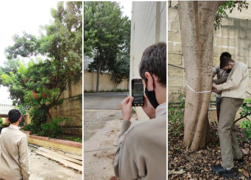
The focus was on indigenous and non-indigenous trees found in the school ground. The students selected the trees and defined them according to species. They mapped each tree with the GLOBE Observer App measuring tree height and circumference and observing weather parameters including cloud cover, rainfall, air temperature, humidity, air pressure and surface temperature. Rain precipitation was measured by a rain gauge and the urban surface temperature was taken during a period of time using an infrared thermometer. They investigated the effects of rainfall totals on tree height between indigenous and non-indigenous trees.
- Solution: What are your findings?
All data collected was logged on the GLOBE website. Mapping of trees and average temperature and precipitation was calculated. Trees offer shade during school days especially during the hot summer months. This significantly impacts the urban heat surface temperature. Trees also absorb CO2 and act as a sound barrier from the adjacent busy streets.
- Recommendation: What solutions have you developed for the regional problem(s)?
Through this and other similar projects students are developing into agents of change … particularly on issues related to trees and environmental impacts in urban settings. They have been quite vociferous at the local and national levels in presenting their findings and proposing sustainable policies.
- Dissemination: How did you promote your recommendations?
All the data and the report was presented in an online Story Map using ArcGis StoryMaps and on the GLOBE website. The project was also submitted and received awards in the International Virtual Science Symposium organized by the GLOBE Programme.
- Photos
(a) Students taking tree measurements using Tree Height on GLOBE Observer App
(b) Students collecting surface temperature and precipitation data together with sky conditions